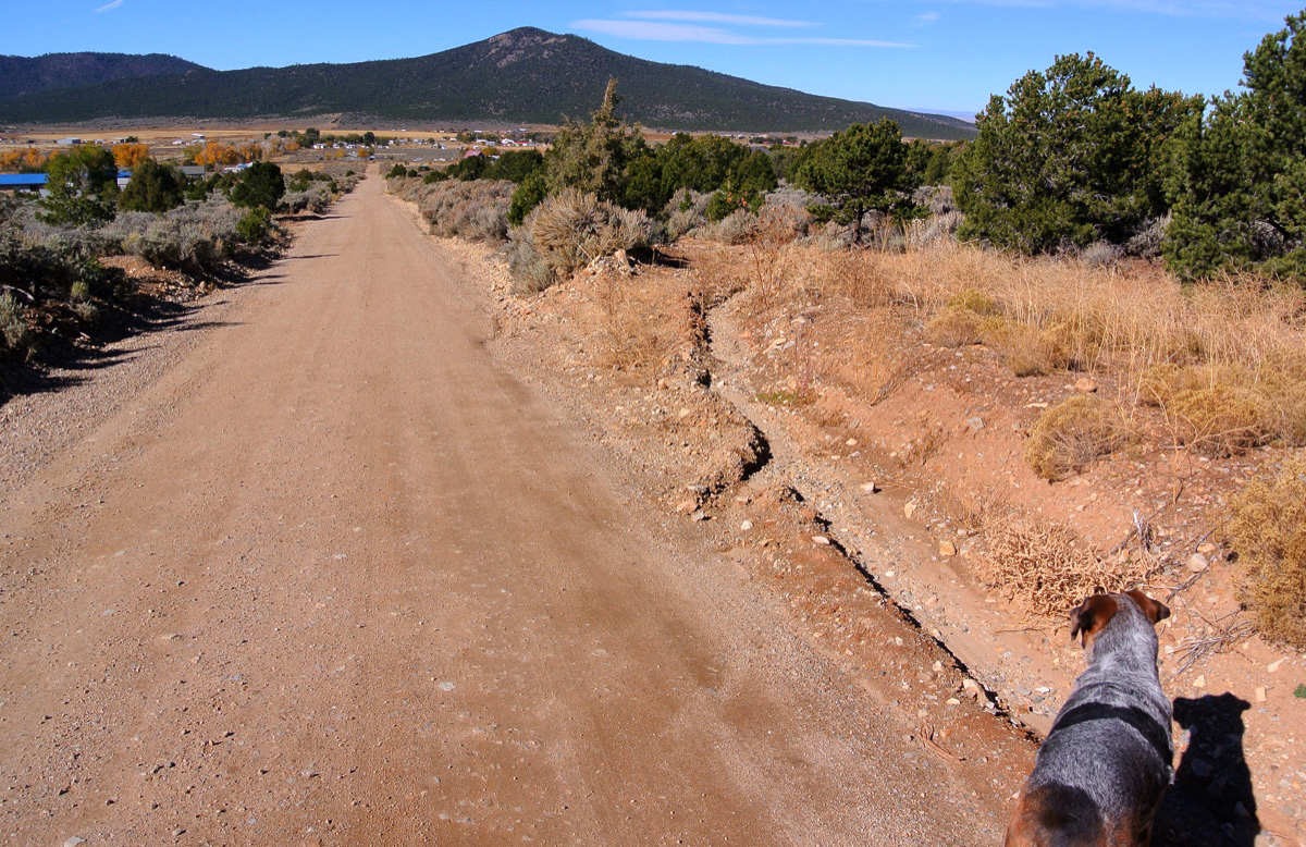
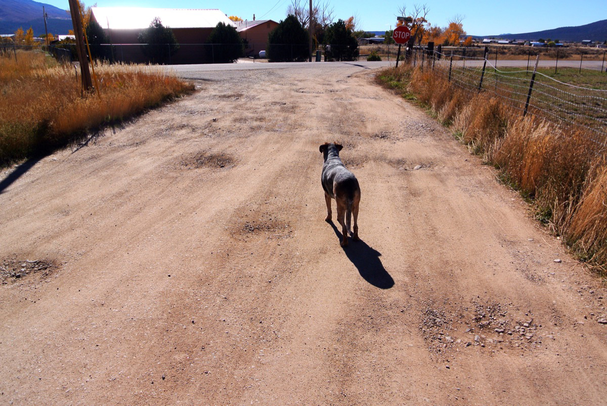
Know a section of road that needs urgent attention? Contact us. Suggestions will be published here.
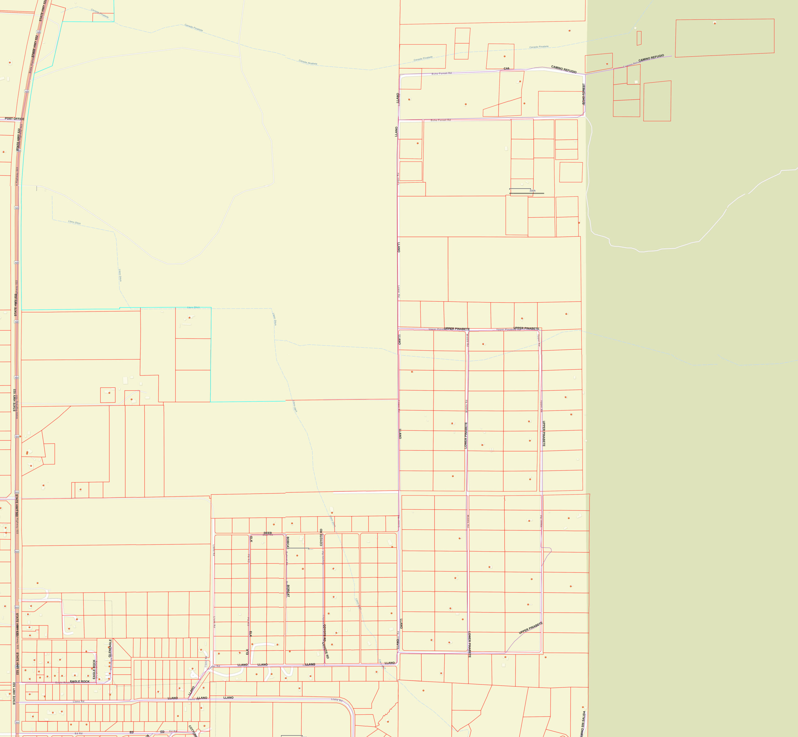
The Taos County General Interactive Map is an incredible resource for getting to know Mountain Valley Acres, aka Pinabete.
Know a section of road that needs urgent attention? Contact us. Suggestions will be published here.
The Taos County General Interactive Map is an incredible resource for getting to know Mountain Valley Acres, aka Pinabete.